
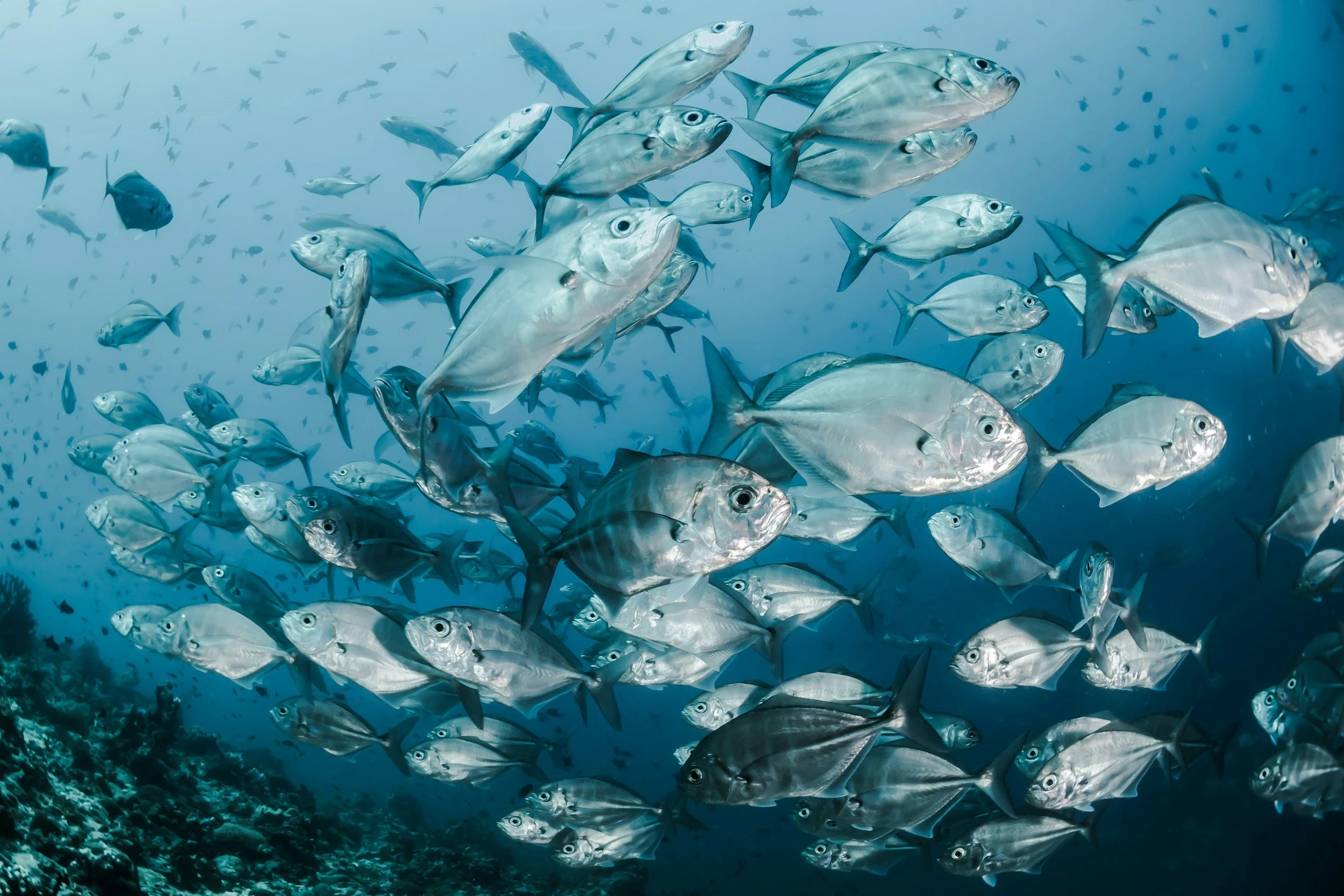
Fish eye
Seeing what lives beneath the surface

Location
Zanzibar, Tanzania.

Duration
Ongoing

Supervision
Bahari Yetu & local communities

Focus
AI-assisted fish identification & assemblage monitoring
FISH EYE
SEEING FISH.
TRACKING CHANGE.
FISH EYE USES UNDERWATER CAMERAS, BRUV SURVEYS AND AI-ASSISTED ANALYSIS TO IDENTIFY FISH, MONITOR ASSEMBLAGES AND TRACK CHANGES IN MARINE ECOSYSTEMS.
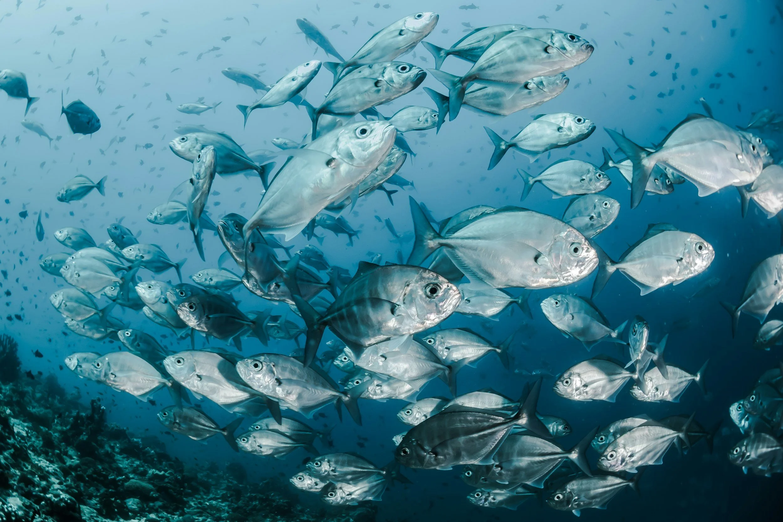
Across East Africa, fish communities support marine ecosystems, local fisheries and coastal livelihoods. Understanding which fish are present, where they occur and how their distribution changes helps reveal how these systems function.
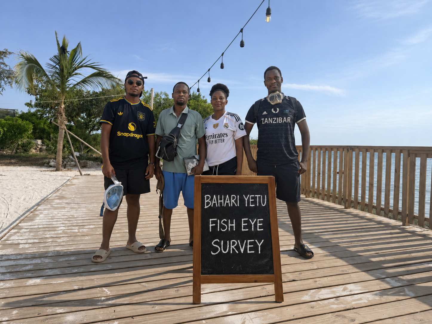
Bahari Yetu uses underwater cameras, BRUV surveys and AI-assisted analysis to observe fish assemblages across seagrass meadows, reef flats and coral reefs.
Our approach is simple: capture footage, identify fish, verify observations and track changes over time. We combine these records with local fishers’ knowledge of catches, seasonal movements and fishing grounds to build a more complete picture of marine life.
This evidence can help identify important habitats, investigate changes in fish communities and inform locally managed marine areas, reef closures and fisheries management. Working with fishing communities, we aim to support decisions that protect critical habitats while recognising the livelihoods and food security that depend on them.
FISH EYE
Currently active Projects
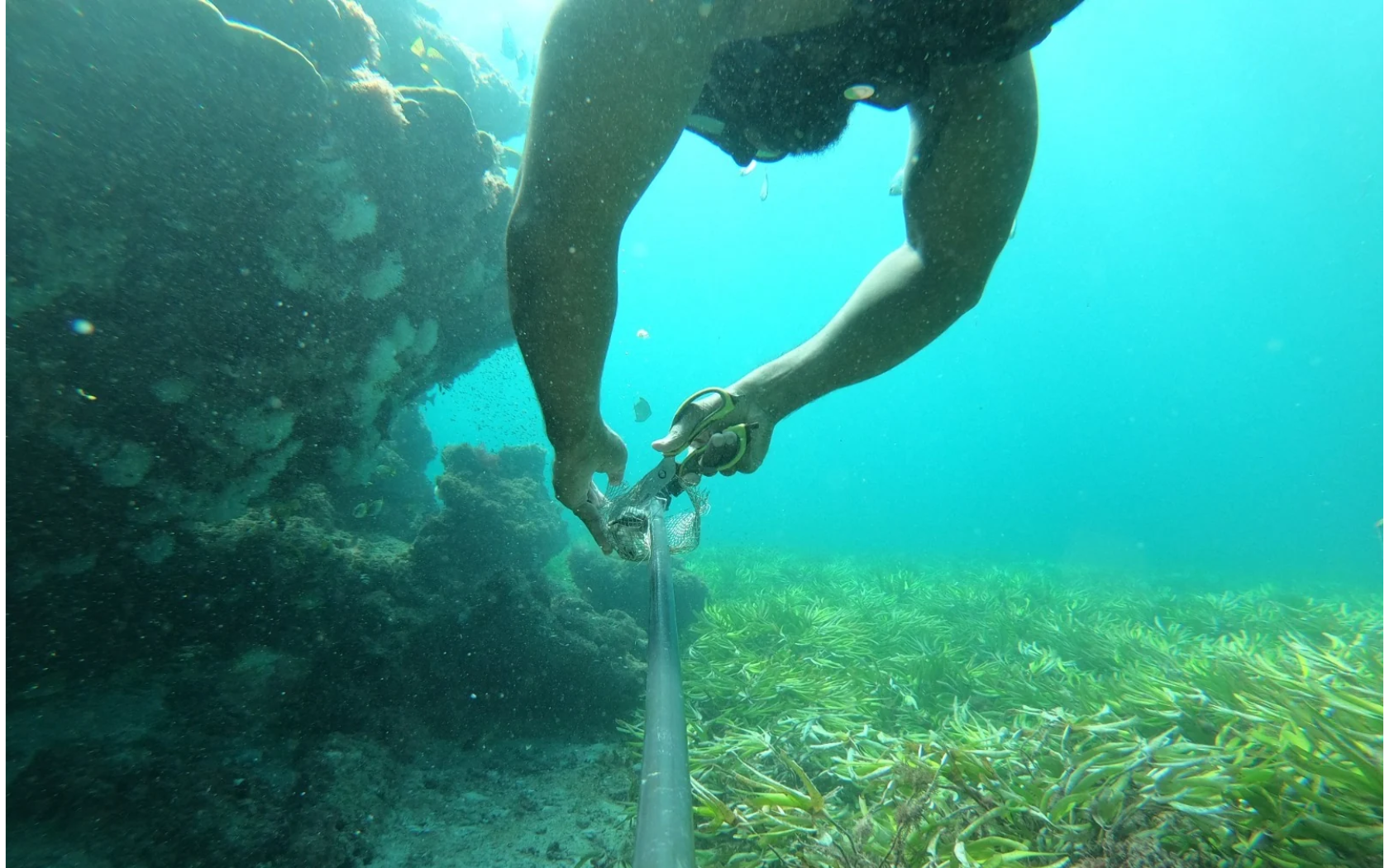
UKOMBE & TELE ISLANDS
FISH ASSEMBLAGE MONITORING
Combining underwater cameras, BRUV surveys and AI-assisted analysis with local fishers’ knowledge to track fish movements, seasonal migration, species composition, catch sizes and changes in fishing grounds. Building a clearer picture of fish populations, ecosystem health and the coastal livelihoods that depend on them.
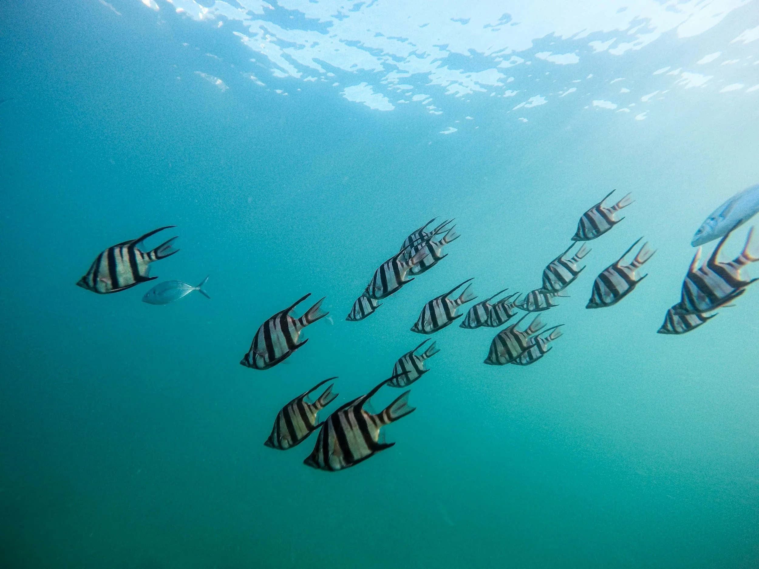
UROA, ZANZIBAR
FISH EYE — FISHERIES MONITORING
Working with Abu Azorro and local fishers in Uroa to combine underwater cameras, BRUV surveys and local knowledge to track fish movements, seasonal migration, species composition, catch sizes and changes in fishing grounds.
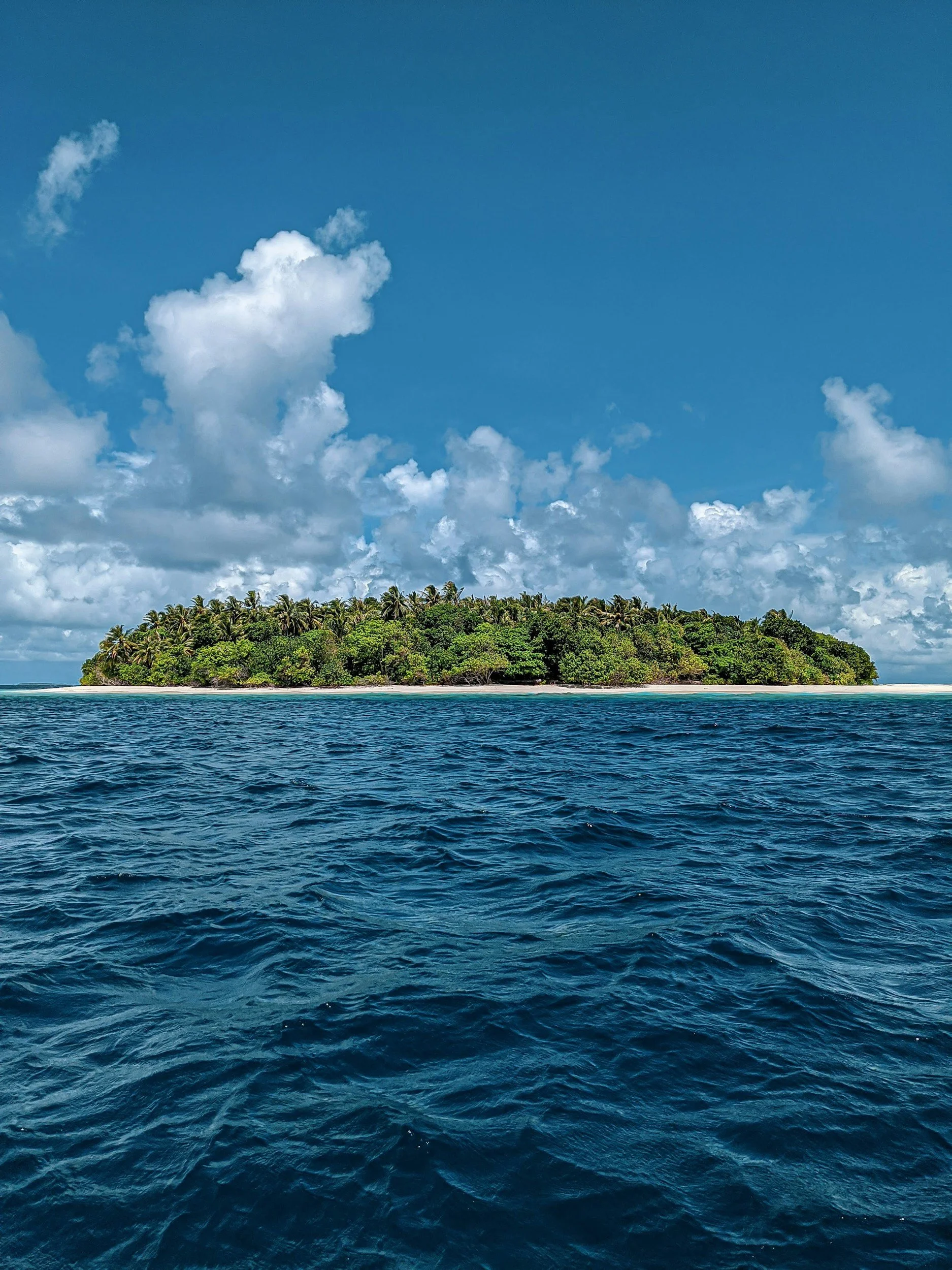
UZI ISLAND, ZANZIBAR
MARINE NATURE RESERVE & SPATIAL PLANNING
Combining AI-assisted BRUV analysis, underwater surveys and spatial mapping to document fish assemblages, identify important marine habitats and support evidence-based reserve planning, zoning and fisheries management around Uzi Island.
FISH EYE
Impact & Timeline
FISH EYE combines underwater cameras, BRUV surveys and AI-assisted analysis to build a clearer picture of fish communities across East Africa. Working with local fishers and marine partners, we document species composition, fish movements and changes in fishing grounds.
Our work includes:
NYAMANZI — development of an AI-assisted fish detection and assemblage monitoring workflow.
UROA — collaboration with Abu Azorro and local fishers to track fish movements, seasonal patterns, catches and fishing grounds.
UKOMBE & TELE ISLANDS — monitoring fish assemblages using underwater cameras, BRUV surveys and repeatable observations.
UZI ISLAND — applying AI-assisted BRUV analysis and spatial mapping to support marine nature reserve planning and zoning.
FIELD DATA — collecting, processing and verifying underwater footage to produce structured records of fish observations.
COMMUNITY KNOWLEDGE — integrating fishers’ observations of migration, catch sizes and changing fishing patterns with camera-based evidence.
LONG-TERM MONITORING — comparing observations across sites and survey periods to investigate changes in fish communities.
The objective is simple: combine technology, repeatable fieldwork and local knowledge to generate evidence that supports better fisheries management and marine spatial planning across East Africa.
Want to learn more?
Leave your message here and we’ll get back to you soon!