
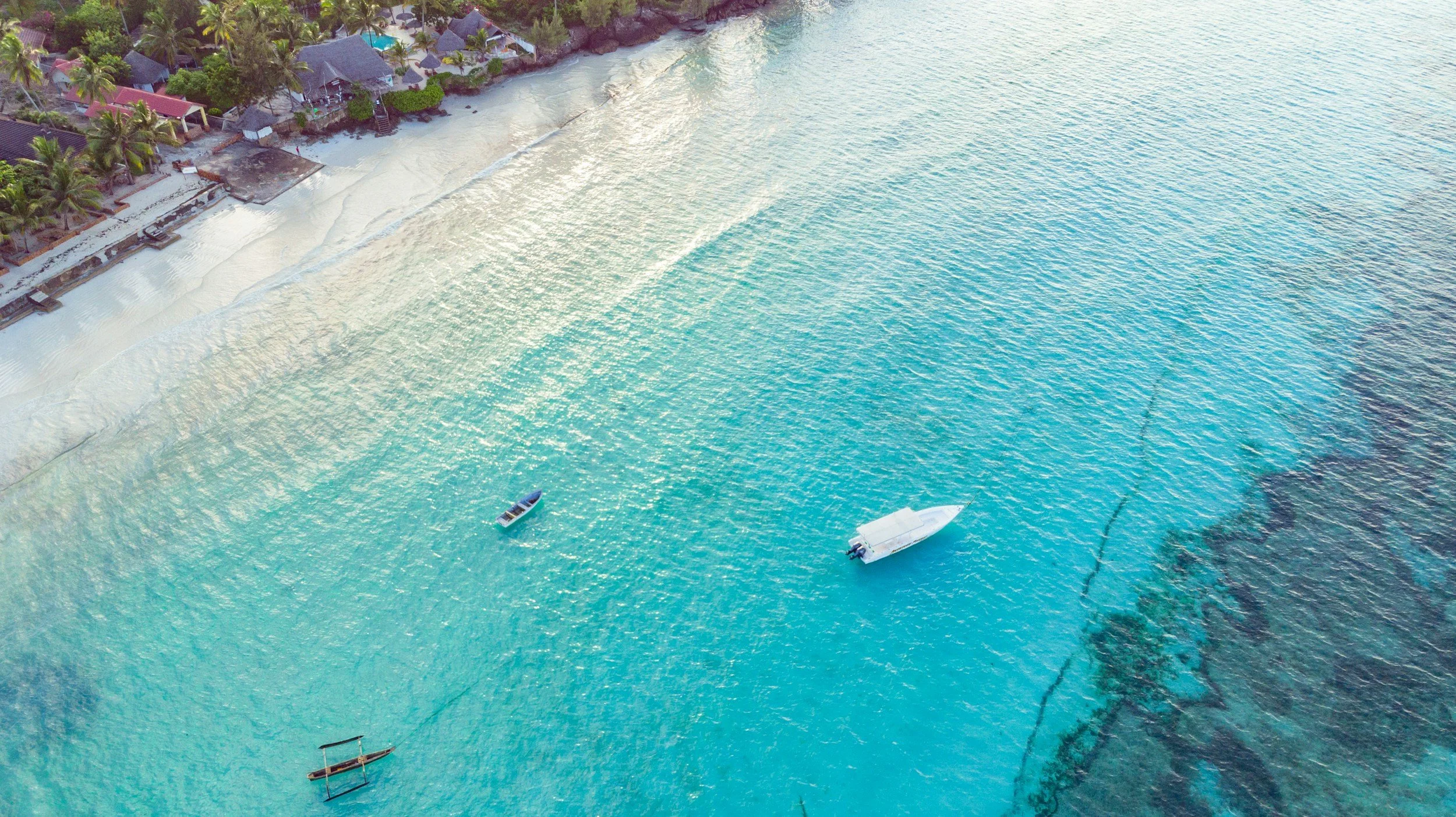
MARINE PROTECTED AREA

Location
Zanzibar, Tanzania expanding across East Africa

Duration
Since 2023 to date

Supervision
Academic Research Director, Research Coordinator

Focus
Marine ecosystem monitoring, biodiversity research, economic valuation and community compensation for environmental loss.
TURNING THE TIDE
MEASURING THE COST OF MARINE ECOSYSTEM LOSS!
COASTAL ECOSYSTEMS SUPPORT FISHERIES, FOOD SECURITY, TOURISM AND SHORELINE PROTECTION.
Climate change, coastal development and tourism can degrade these natural assets, reducing ecosystem services and placing increasing pressure on local communities and their livelihoods.
TURNING THE TIDE integrates data from across Bahari Yetu’s projects to understand ecosystem change, quantify the services being lost and assess the economic consequences for coastal communities.
SEAGONG — mapping seagrass meadows, monitoring habitat condition, investigating dugong feeding trails and developing restoration approaches to understand changes in essential coastal ecosystems.
FISH EYE — combining underwater cameras, BRUV surveys, AI-assisted fish analysis and fishers’ knowledge to monitor fish assemblages, seasonal movements, catches and fishing grounds.
REEF ORTHO — using underwater photogrammetry, orthomosaics and 3D reef reconstruction to document habitat structure and measure changes in coral reef environments.
FUMBA MANGROVE & SEAGRASS FIELD LAB — investigating mangrove and seagrass ecosystems through field monitoring, nursery development and restoration trials.
FLOATING SEAWEED & ULVA FARMS — exploring seaweed cultivation, production opportunities and practical livelihood options for coastal communities.
COASTAL ENVIRONMENTAL MONITORING — measuring sedimentation and investigating environmental pressures affecting sensitive marine habitats.
By combining these evidence streams with community data on fishing, seaweed production and other coastal livelihoods, we aim to identify what is changing, which ecosystem services are being lost and who bears the cost.
The objective of TURNING THE TIDE is to develop a transparent, evidence-based method for valuing environmental losses and identifying fair compensation — whether through direct financial payments, community infrastructure, alternative livelihoods or investment in locally managed conservation.
Who Owns The SEA?
Currently active Projects
OCEAN LAB
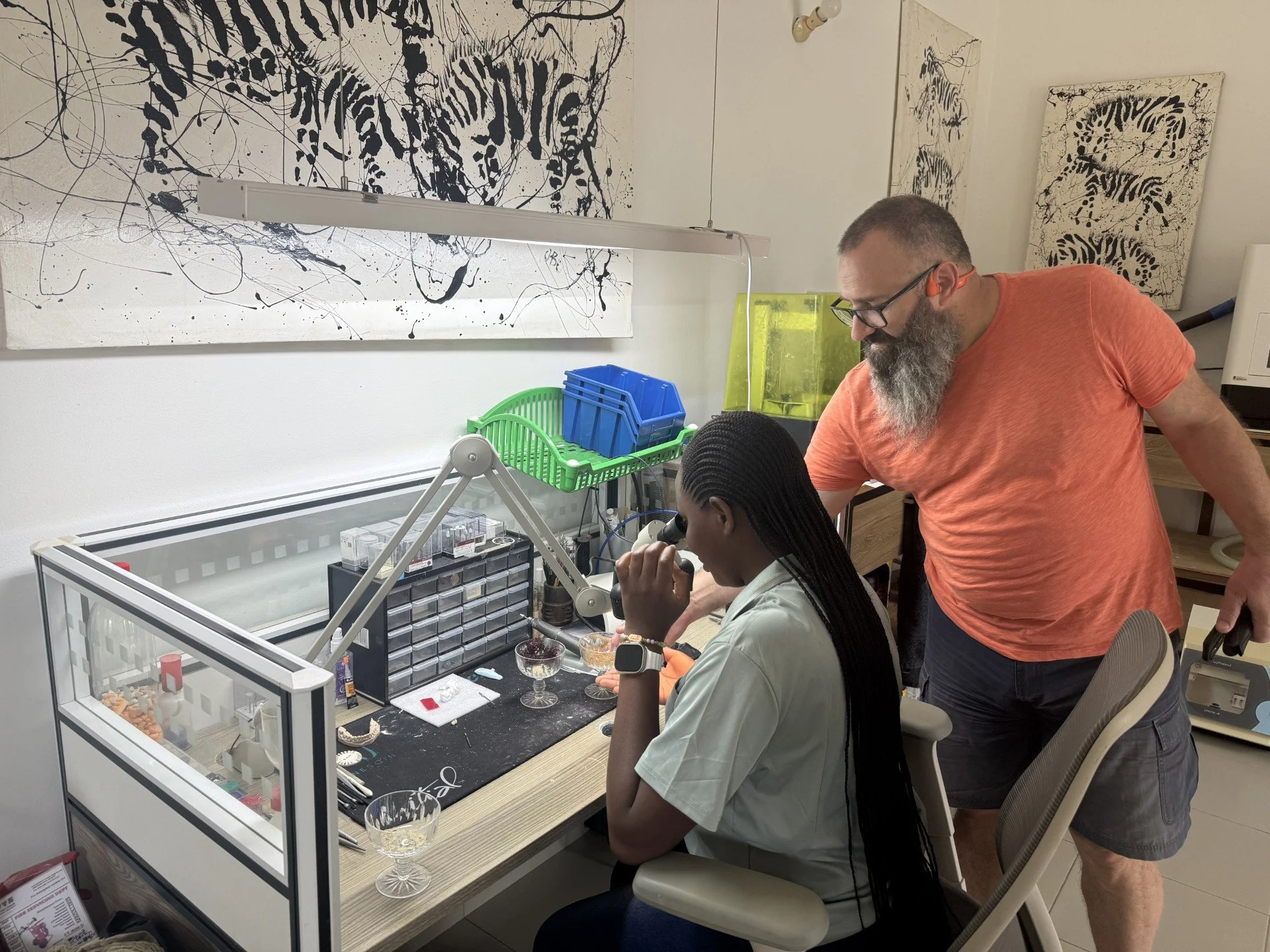
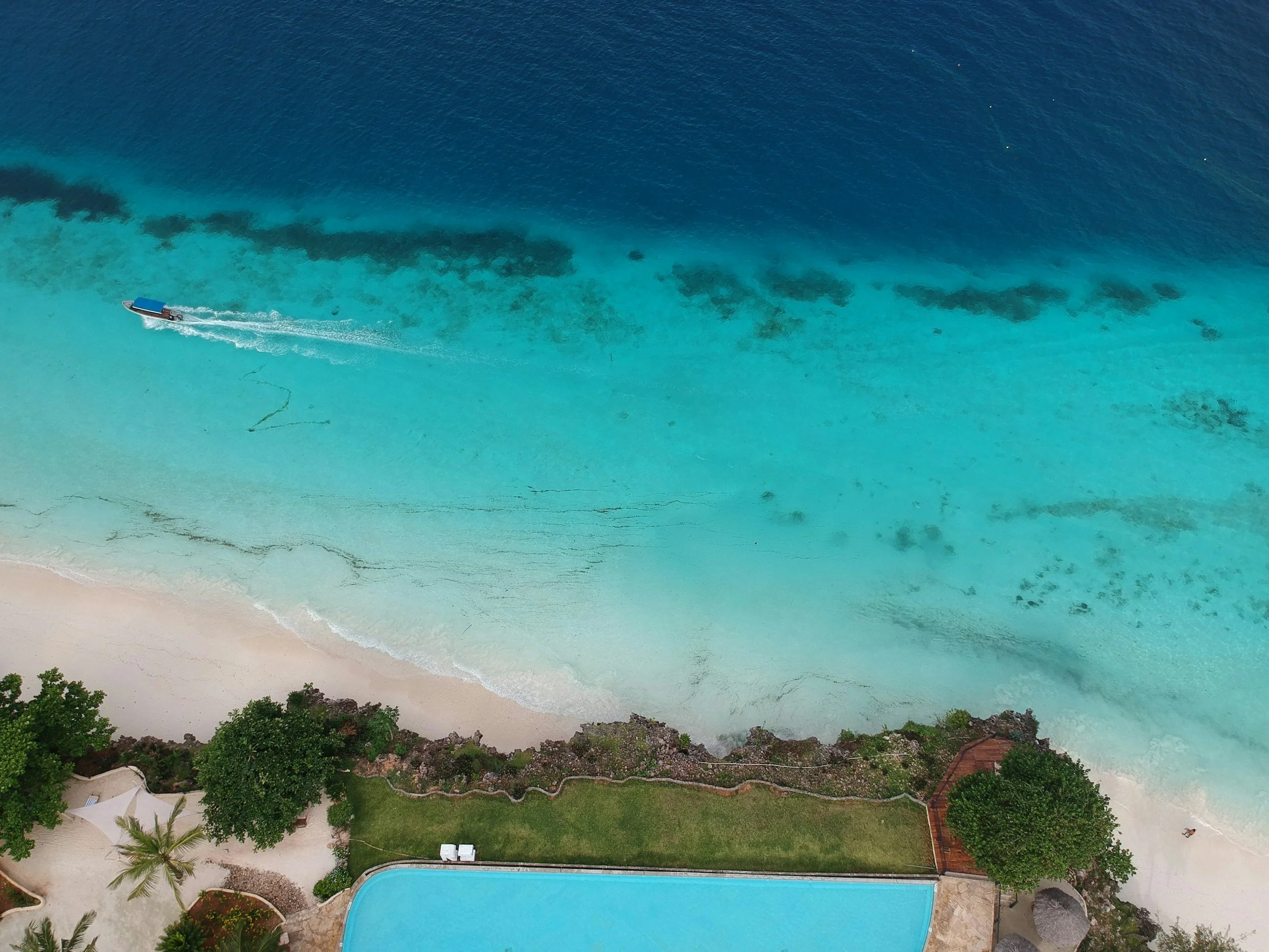
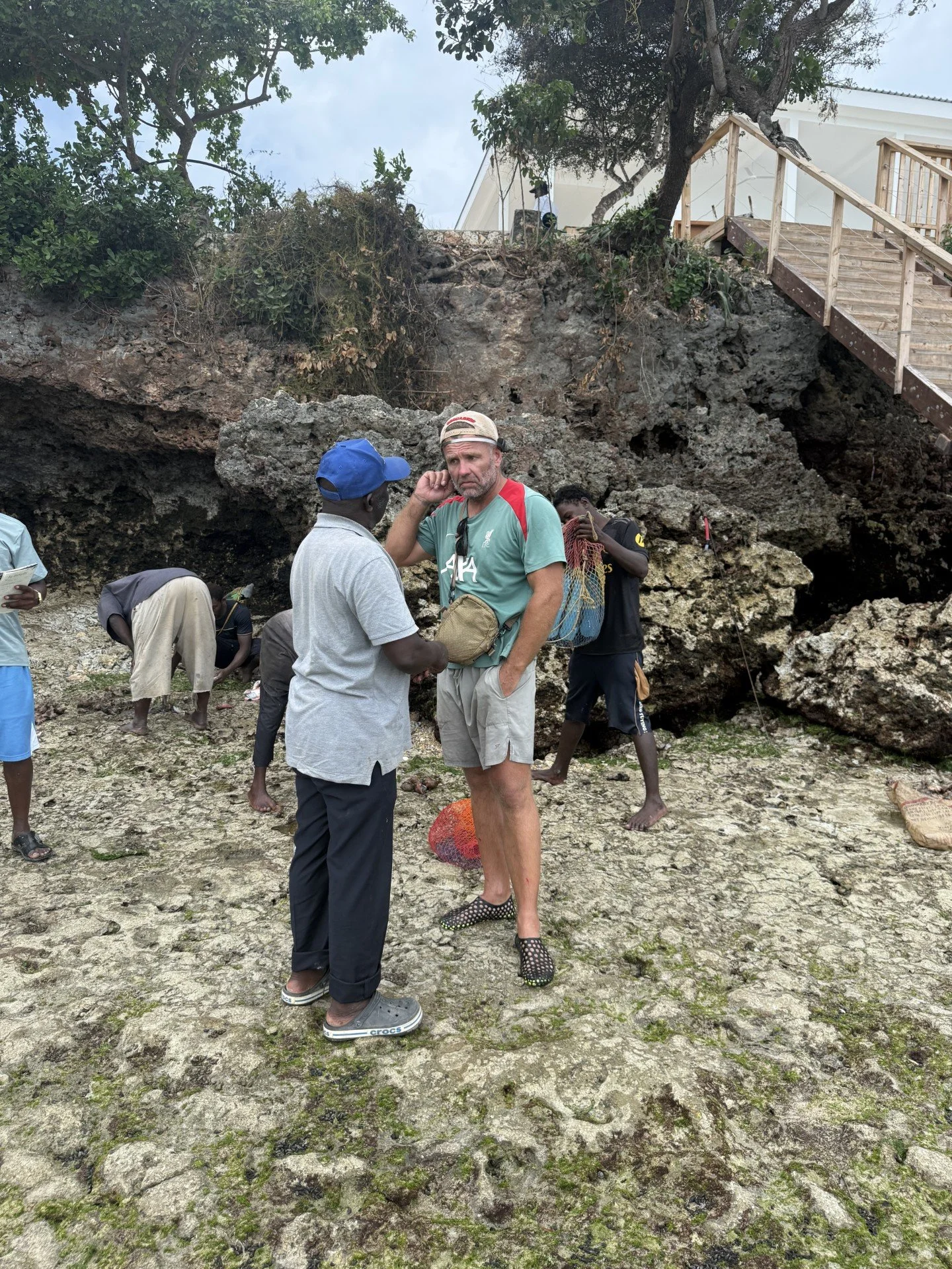
A hands-on marine research programme investigating the changing conditions of Zanzibar’s shorelines. Through coastal surveys, sediment sampling, habitat observations and community engagement, Shore Lab documents the pressures affecting intertidal ecosystems and the people who depend on them. Working alongside local communities, we turn observations from the shoreline into practical evidence for better coastal management, habitat protection and restoration.
FISH EYE
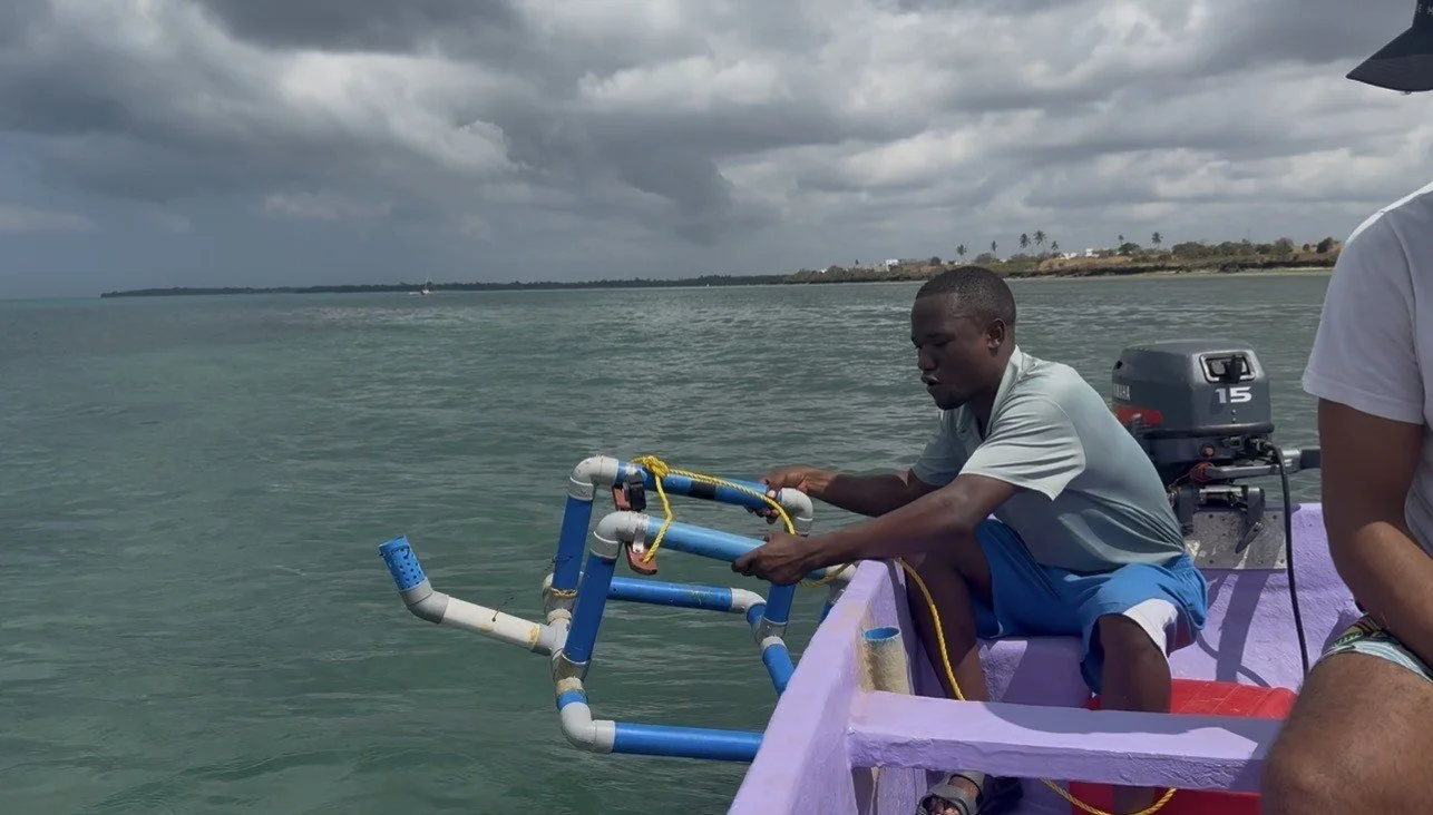
FISH EYE uses underwater cameras, BRUV surveys and AI-assisted analysis to document fish communities across Zanzibar’s coastal ecosystems. Working with local fishers, we record species, observe changes in fish populations and investigate fishing grounds, seasonal movements and reef health. By combining technology with local knowledge, we aim to build reliable evidence to support sustainable fisheries, marine protected areas and better management of coastal resources.
Reef Ortho
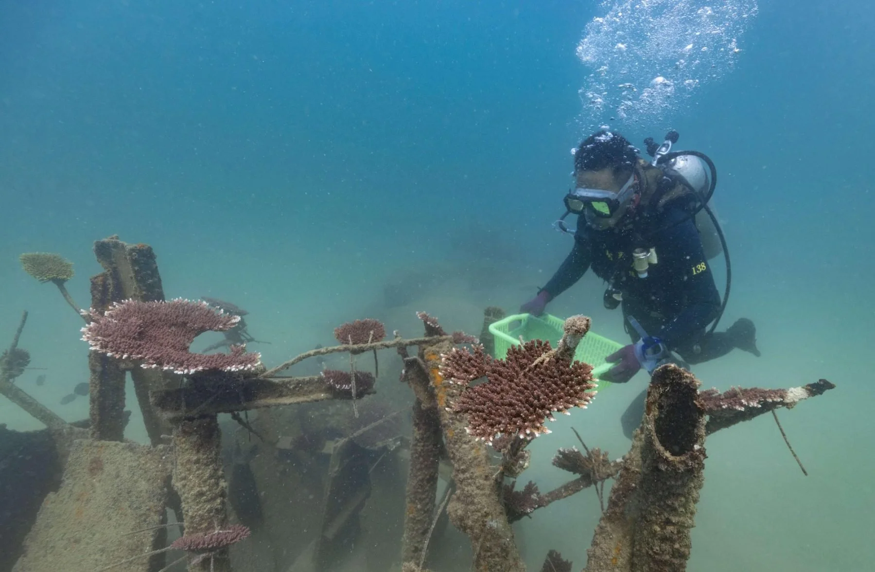
REEF ORTHO uses underwater photography, photogrammetry and 3D mapping to document Zanzibar’s coral reef environments. Through repeat surveys, sediment monitoring and coral restoration trials, we build detailed records of reef structure and habitat change. Our work includes growing native coral species and planning innovative restoration approaches, including Biorock reef structures, to support healthier and more resilient marine ecosystems.
IMPACT
Marine Protected Areas brings together marine monitoring, biodiversity research and community engagement to understand the economic cost of coastal ecosystem loss. By combining field evidence with local knowledge, we aim to identify environmental change, quantify lost ecosystem services and develop and understanding on how this impacts affected communities.
Our impact measures include:
10 FISHER MEETINGS — documenting fishing grounds, catch patterns, livelihoods and changes in marine resources.
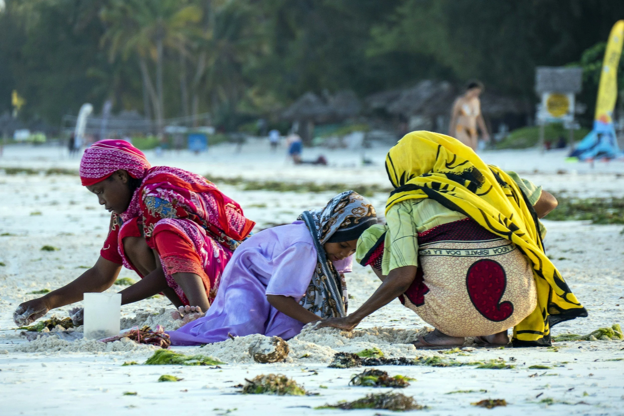
20 SEAWEED FARMER MEETINGS — recording production, yields, environmental pressures and livelihood impacts.
20 REEF SCANS — documenting coral reef structure and habitat condition using underwater photogrammetry.
20 SEAGRASS DRONE SURVEYS — mapping seagrass habitats and monitoring changes in their distribution and condition.
BIODIVERSITY STUDIES — combining FISH EYE, SEAGONG and REEF ORTHO data to investigate changes in habitats and marine life.
COMMUNITY ENGAGEMENT — working with local NGOs, government departments, researchers and coastal communities to validate findings and identify priorities.
ECONOMIC VALUATION — translating documented ecosystem changes into estimates of lost services, livelihood costs and potential compensation.
Active collaboration with 10+ institutional partners in restoration, education, and governance.
Want to learn more?
Leave your message here and we’ll get back to you soon!