
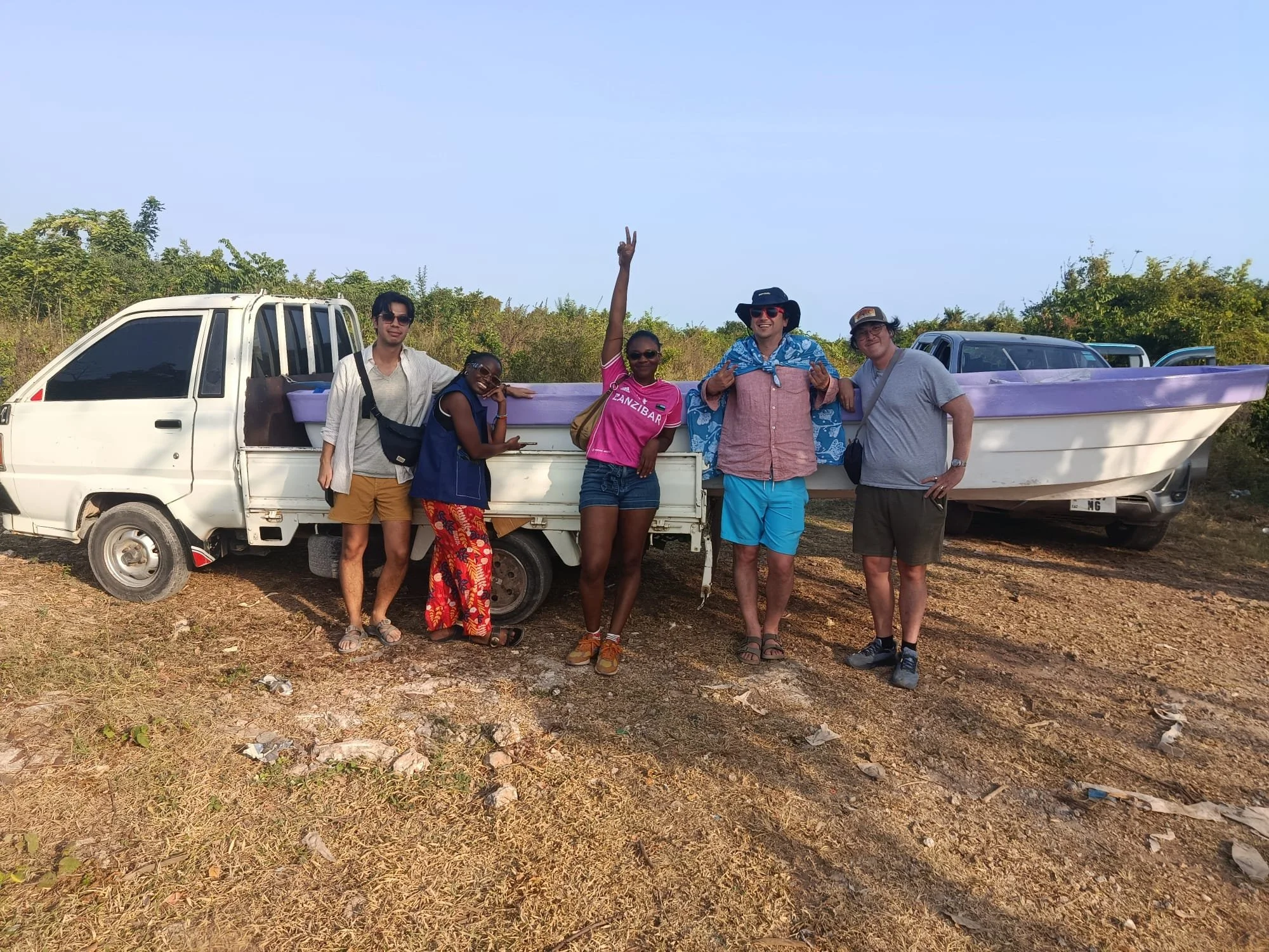
BOAT SURVEY
JOIN A BLUE GRID RUN,
Coastal Data, Collected on the Water
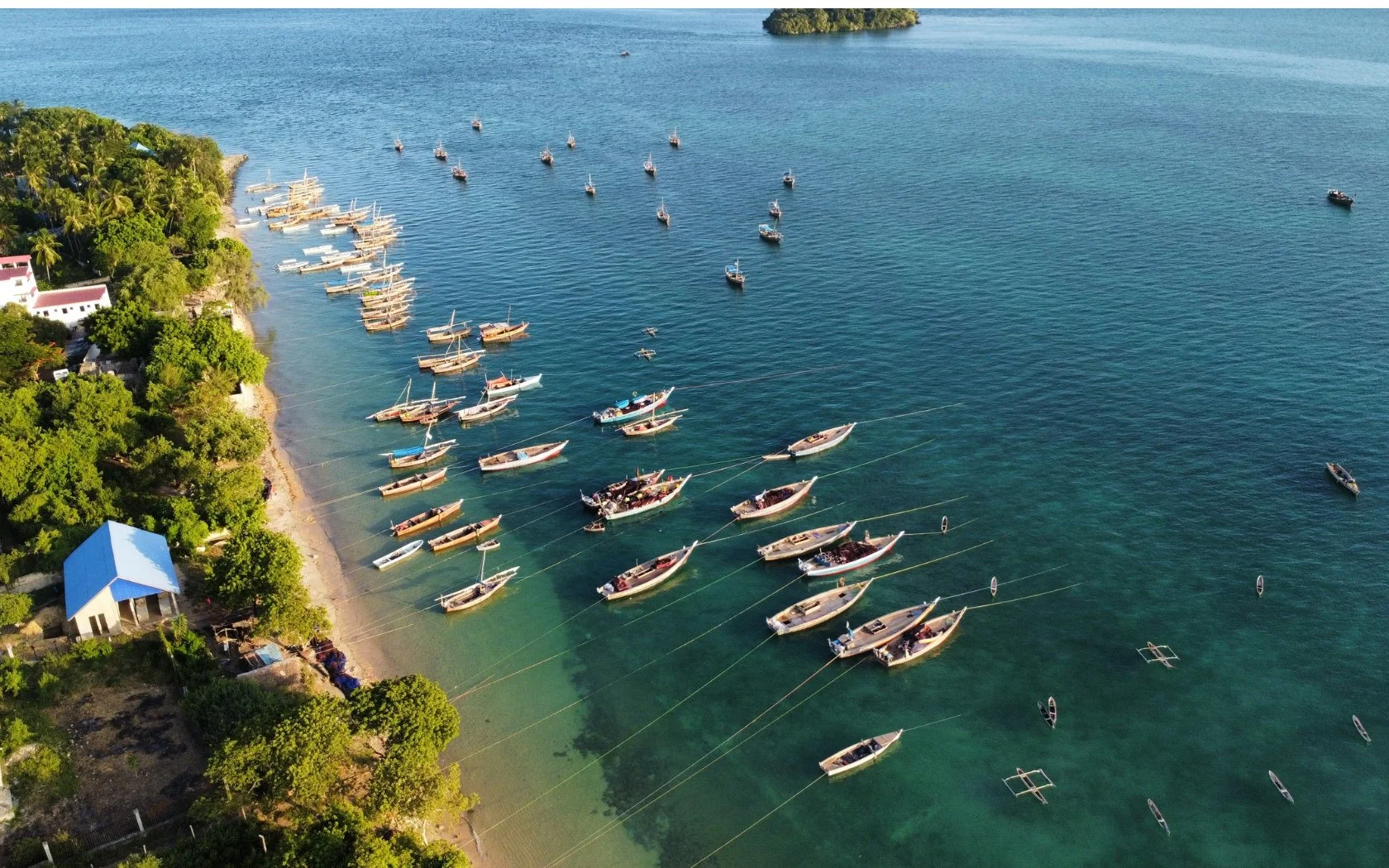
A Blue Grid run is not just time on a boat. It is a working field mission that connects sonar, GPS tracks, GoPro imagery, fish observations and habitat records to the same place and time.
Participants see how practical marine technology turns a route across the water into evidence for reef protection, seagrass monitoring, sustainable seaweed-farm placement and long-term coastal management.
Real Field TechnologySee how sonar, GPS, cameras and field observations work together.
Data With a Purpose Every run adds to a growing, locally held record of Zanzibar’s coastal ecosystems.
Learn by DoingJoin the team as they collect, organise and interpret real survey evidence.
Support Local ScienceYour participation helps build the tools, skills and evidence needed for locally led marine management.
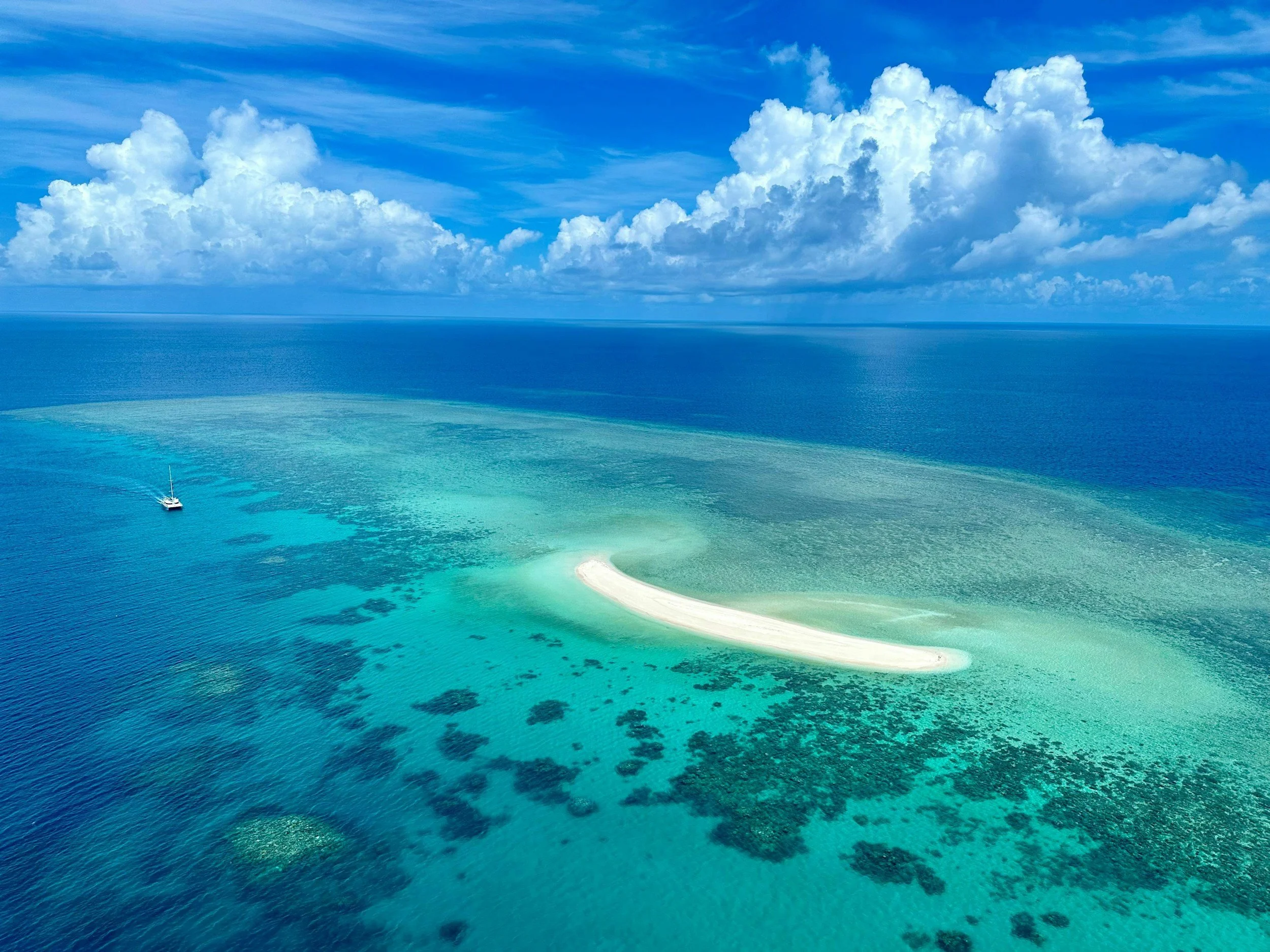
EVERY BLUE GRID RUN TURNS TIME ON THE WATER INTO REAL COASTAL EVIDENCE — CONNECTING SONAR, GPS, IMAGERY AND OBSERVATIONS TO THE PLACES THAT NEED PROTECTING.
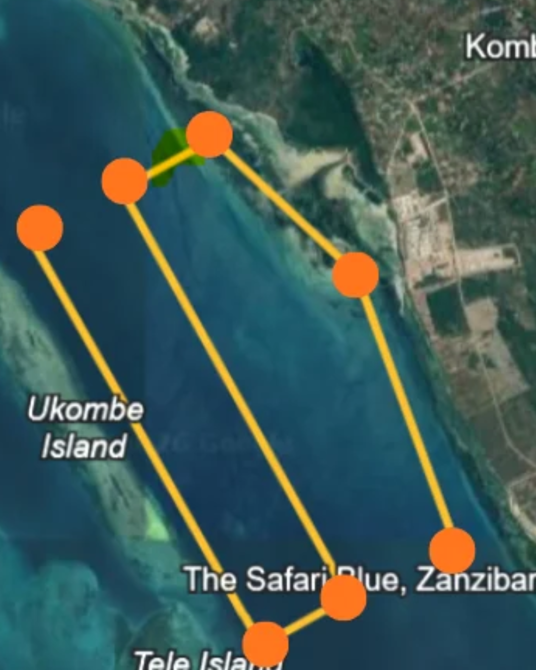
Half-Day Blue Grid RunSEE THE COAST AS DATA.
Join the team for a focused half-day field run. See how a working survey route becomes mapped evidence for Zanzibar’s reefs, seagrass and coastal management.
09:00–09:30am — Meet & Brief
Meet the team, understand the day’s route and see the equipment in action.
09:30–11:30am — Blue Grid Field Run
Head out on the water to collect sonar, GPS, imagery and habitat observations.
11:30am–12:30pm — Evidence Review
Return to shore and see how the day’s tracks and records are organised into one shared coastal picture.
12:30pm — Finish
Leave with a clear understanding of how local fieldwork becomes practical marine evidence.